


Table of Contents
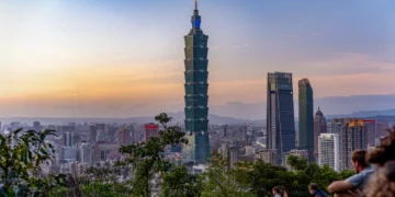
The peak is without a doubt one of Hong Kong’s most iconic locations, and hiking up there is a popular activity amongst locals and tourists. However, did you know that there are multiple ways to get up to the peak?
In this post, I’ll show you two ways to get from Pok Fu Lam Reservoir to The Peak. Both ways are an easier climb than the Central to The Peak hike. Here are the options:
- Route A: More challenging climb, but easier to get to Mt. High West Viewing Point
- Route B: Gentler climb, and easier to get to The Peak Tower
My go-to path is Route A, because I always end up hiking up Mt High West Viewing Point for the stunning views it has to offer.
1 Pok Fu Lam to the Peak Hiking Summary
| Metric | Route A | Route B |
|---|---|---|
| Difficulty Level | Medium | Easy |
| Road Conditions | 80% paved, 20% gravel | 100% paved |
| Elevation Gain | 235 metres | 771 ft | 235 metres | 771 ft |
| Peak Elevation | 400 metres | 1,312 ft | 400 metres | 1,312 ft |
| Total Distance | 2.2 km | 1.4 miles | 2.6 km | 1.6 miles |
| Total Time | 45 mins | 45 mins |
| Finishing Point | Harlech Rd meets Lugard Rd | The Peak Galleria |
Hiking Directions
Route A
Route B
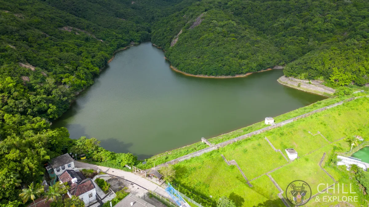
2 How to Get to Pok Fu Lam Reservoir?
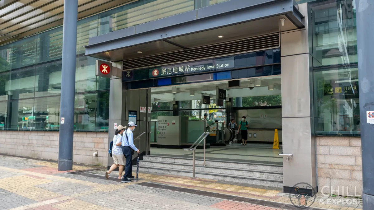
Pok Fu Lam Reservoir is not near any MTR station. If you’re living in the New Territories, Kowloon, or the Northern part of HK Island, the best option might be to take the MTR to Kennedy Town followed by a short minibus ride.
Total duration from Kennedy Town 15 minutes
MTR to Kennedy Town
Walk towards the minibus terminus. From here, take Minibus 23. There should be a minibus once every 10 minutes or less.
Take Green Minibus 23
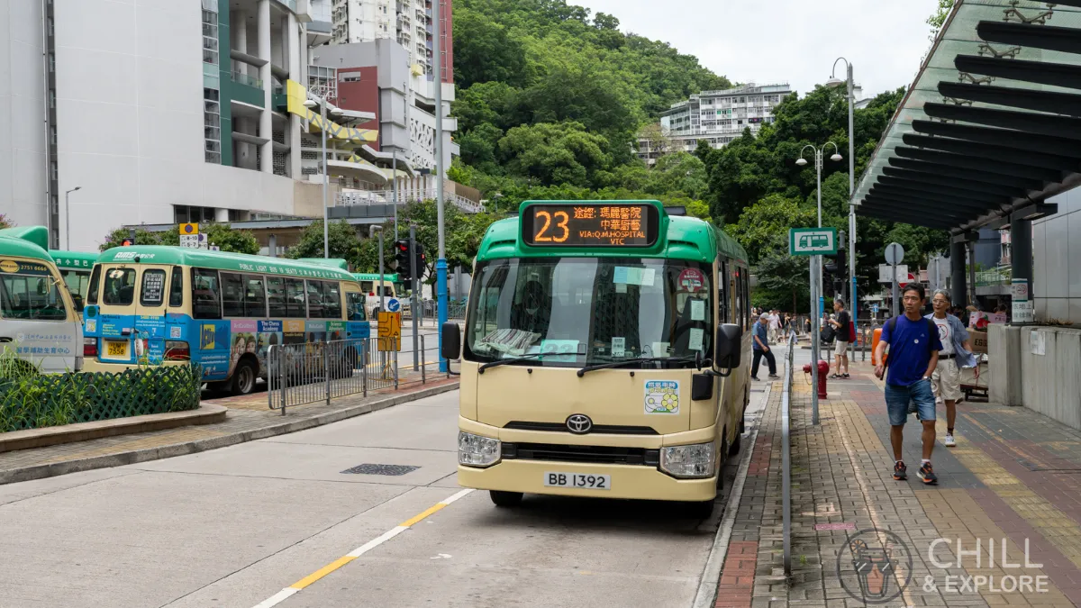
Walk towards the minibus terminus. From here, take Minibus 23. There should be a minibus once every 10 minutes or less. You can find the latest fares here.
Get off the minibus at Pok Fu Lam Reservoir Road

Signal to the driver to get off at Pok Fu Lam Reservoir Road when you’re about 50 metres away. The bus stop is opposite the Museum of Bethanie.
Walk up Pok Fu Lam Reservoir Road
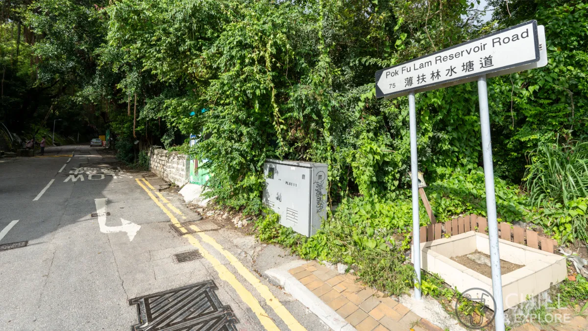
Follow the sign up the road
Walk straight up the slope
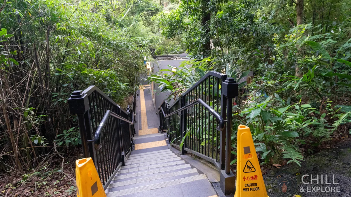
Continue walking straight, do not take the stairs on the left.
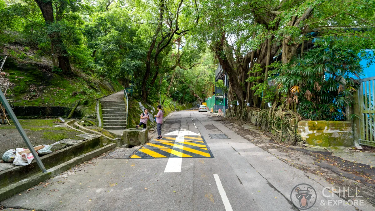
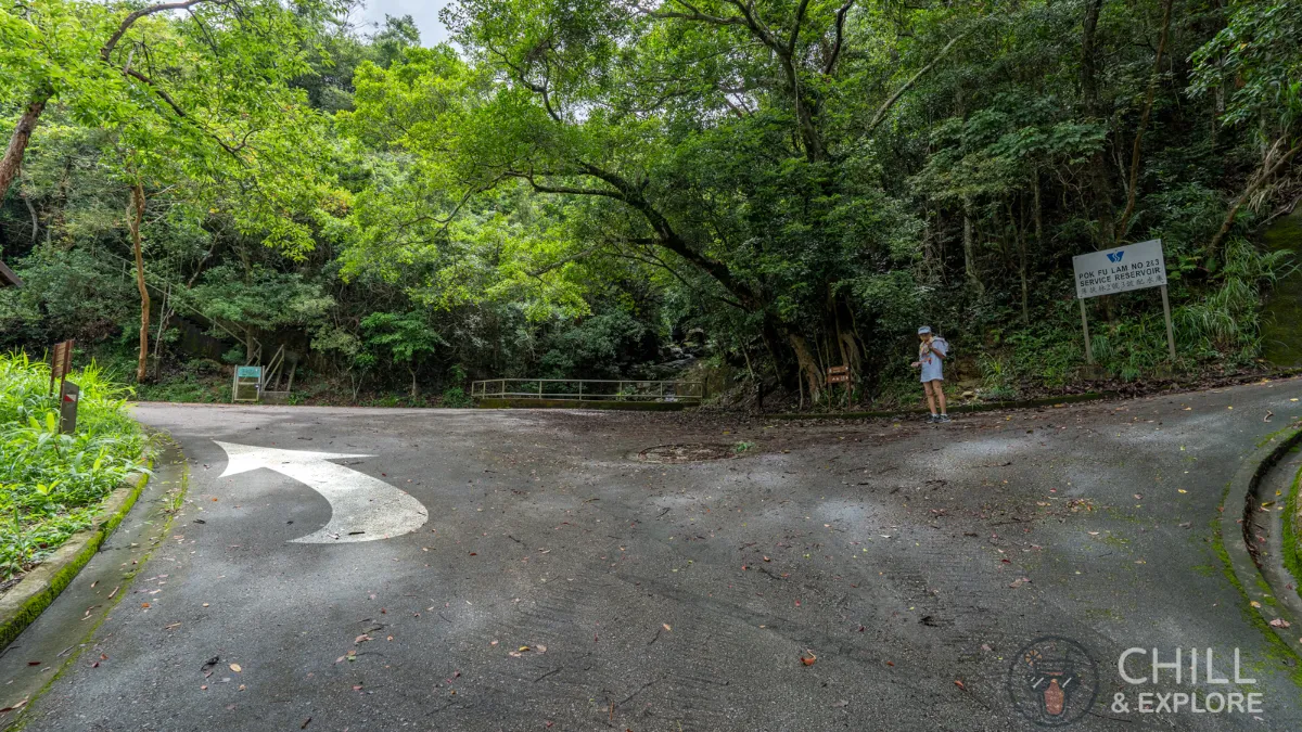
You’ve reached Pok Fu Lam Reservoir
Congrats, you’ve made it to the starting point.
3 Route A: Quickest Way to High West Viewing Point
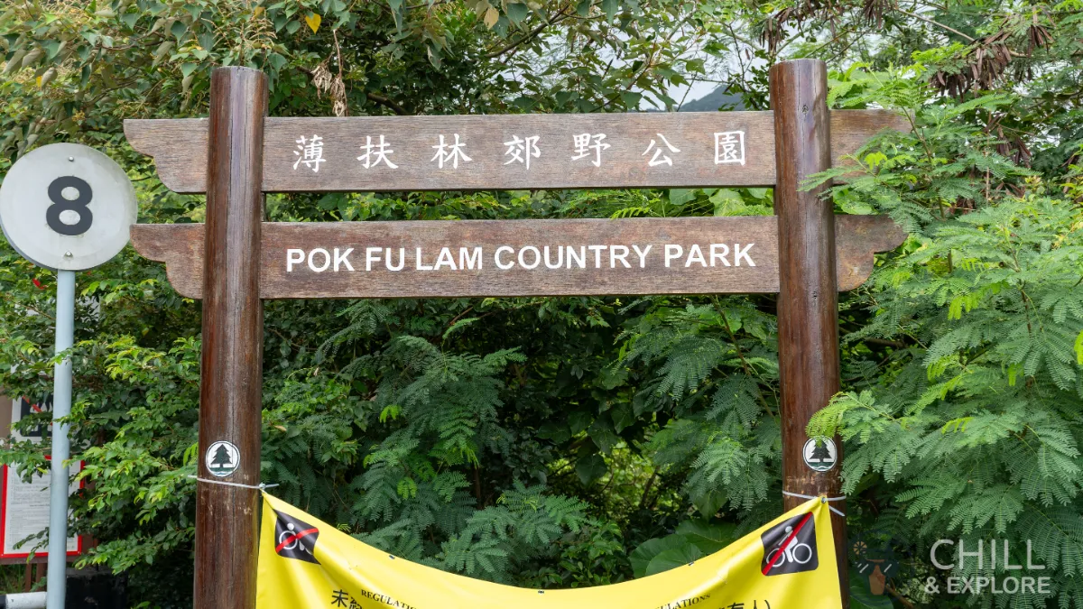
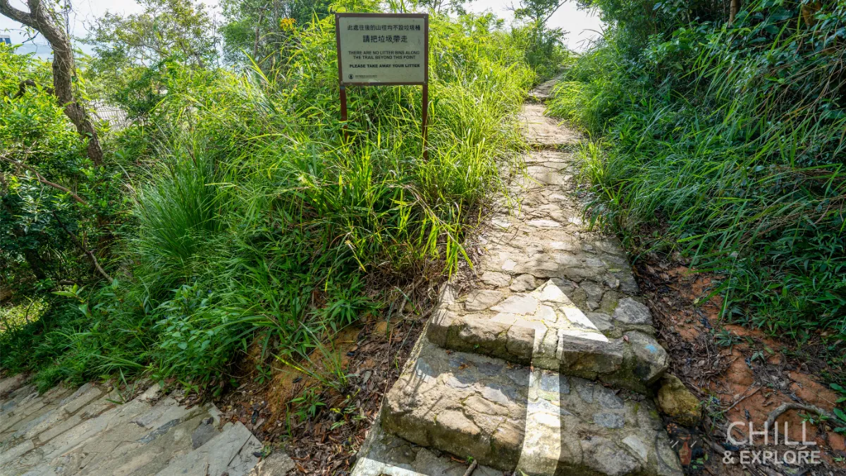
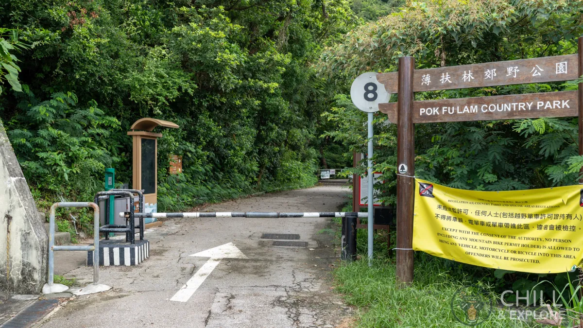
Our hike starts at the stairs immediately to the left of the Pok Fu Lam Country Park sign. Walk up these stairs to get started.
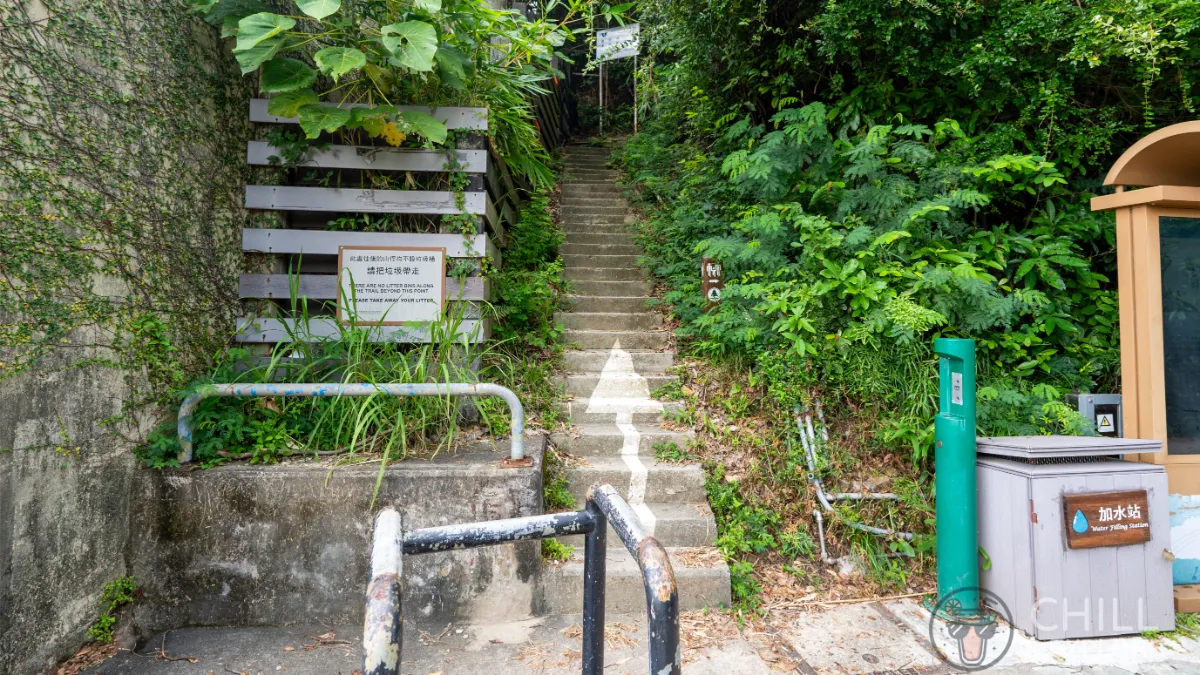
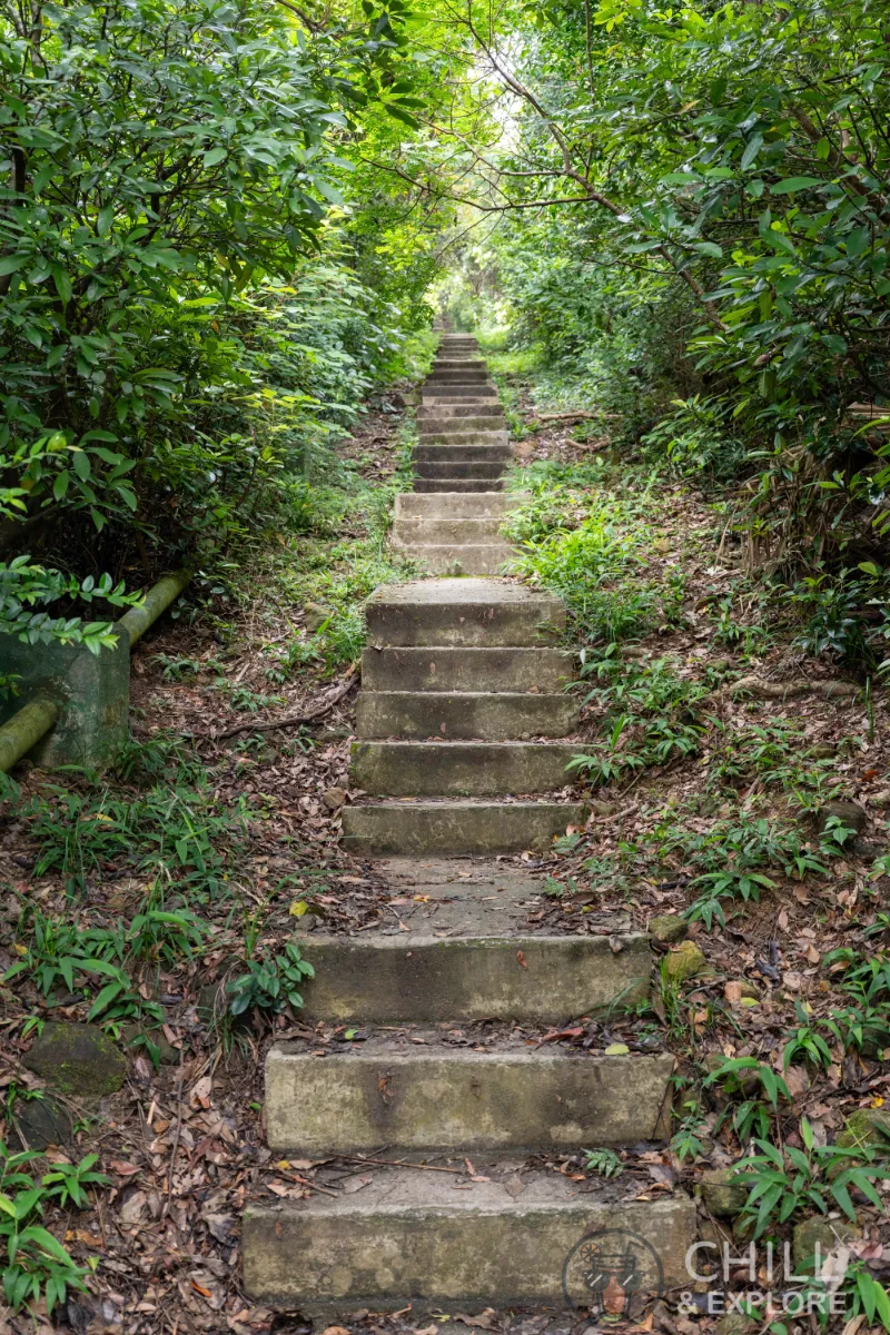
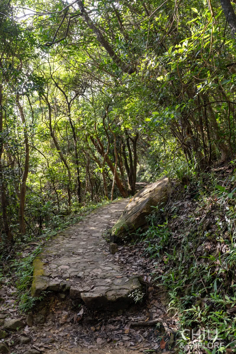
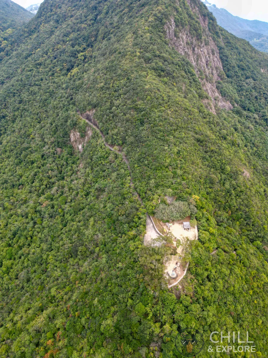
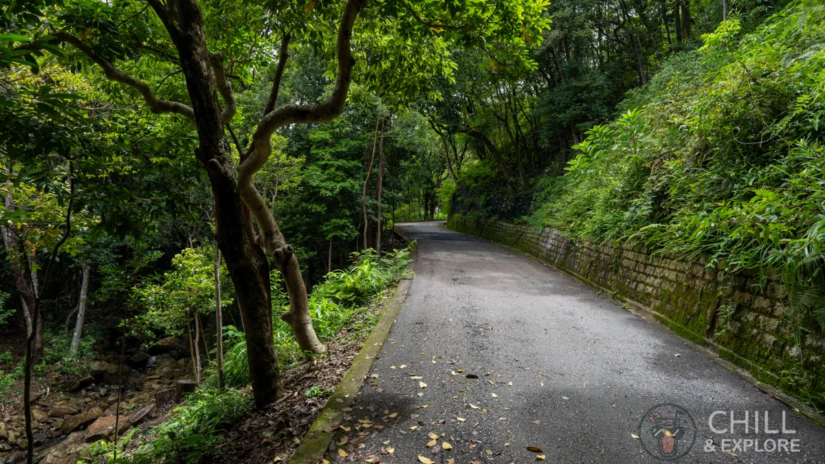
You’ll soon see a seemingly never-ending trail of stairs heading up. That’s exactly where we’re going. Don’t worry, it’s not too long.
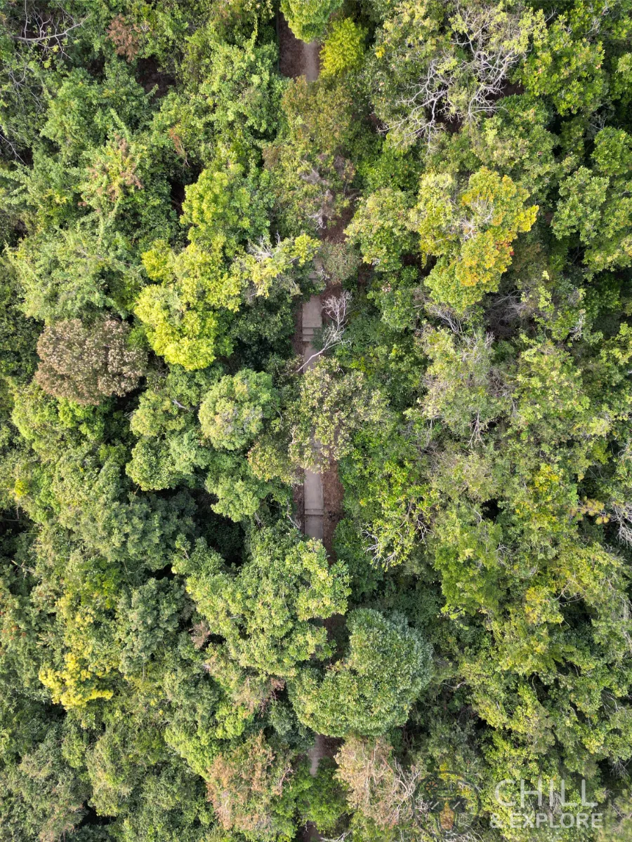
Here’s the view from above. As you can see, the path is pretty well covered by trees.
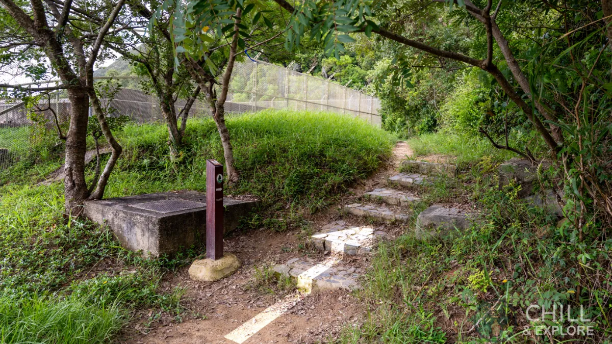
Keep walking up till you reach the fenced-off area on the left. Follow the trail post and continue walking up the stairs.
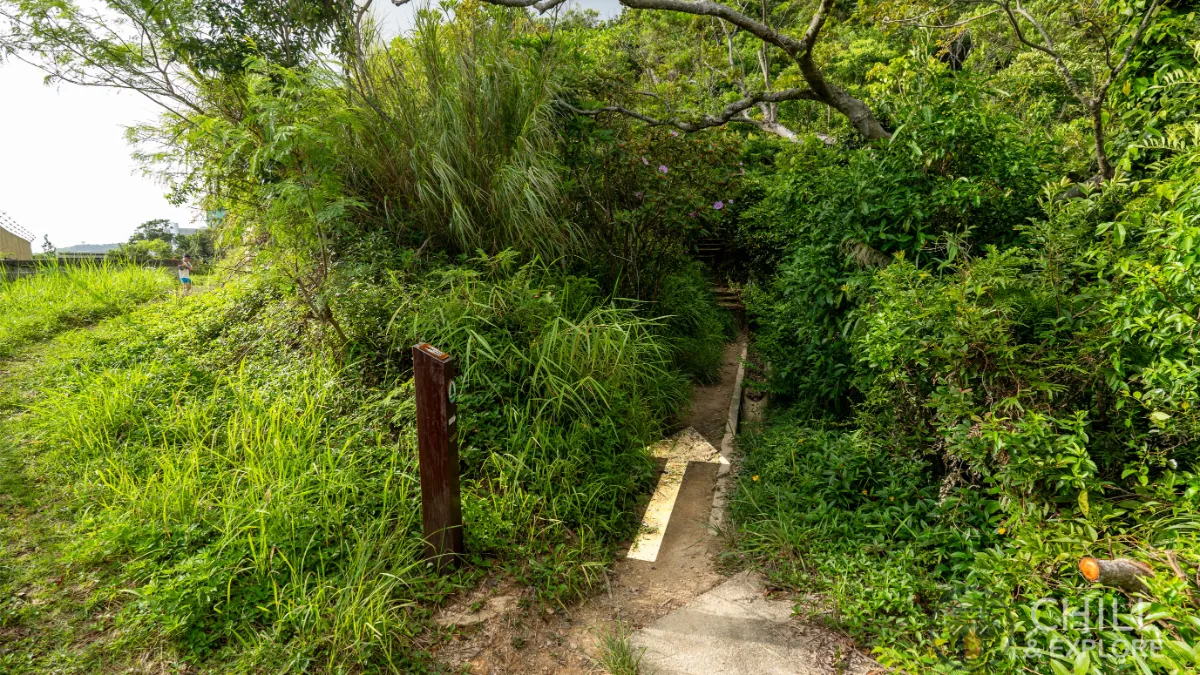
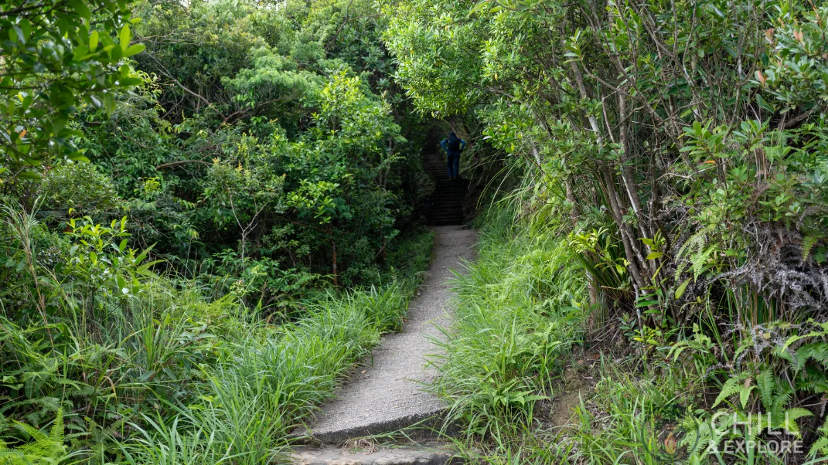
At the end of the fence, walk along the narrow path between the bushes instead of the grass that’s on the left.
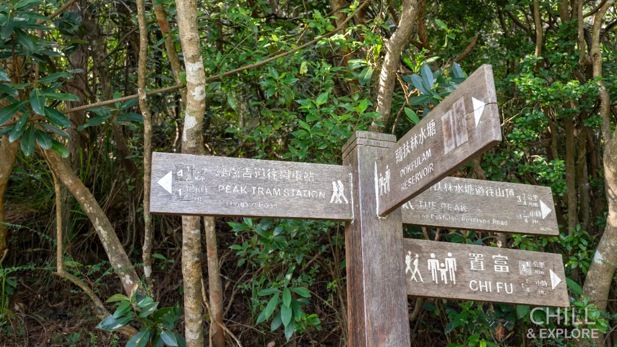
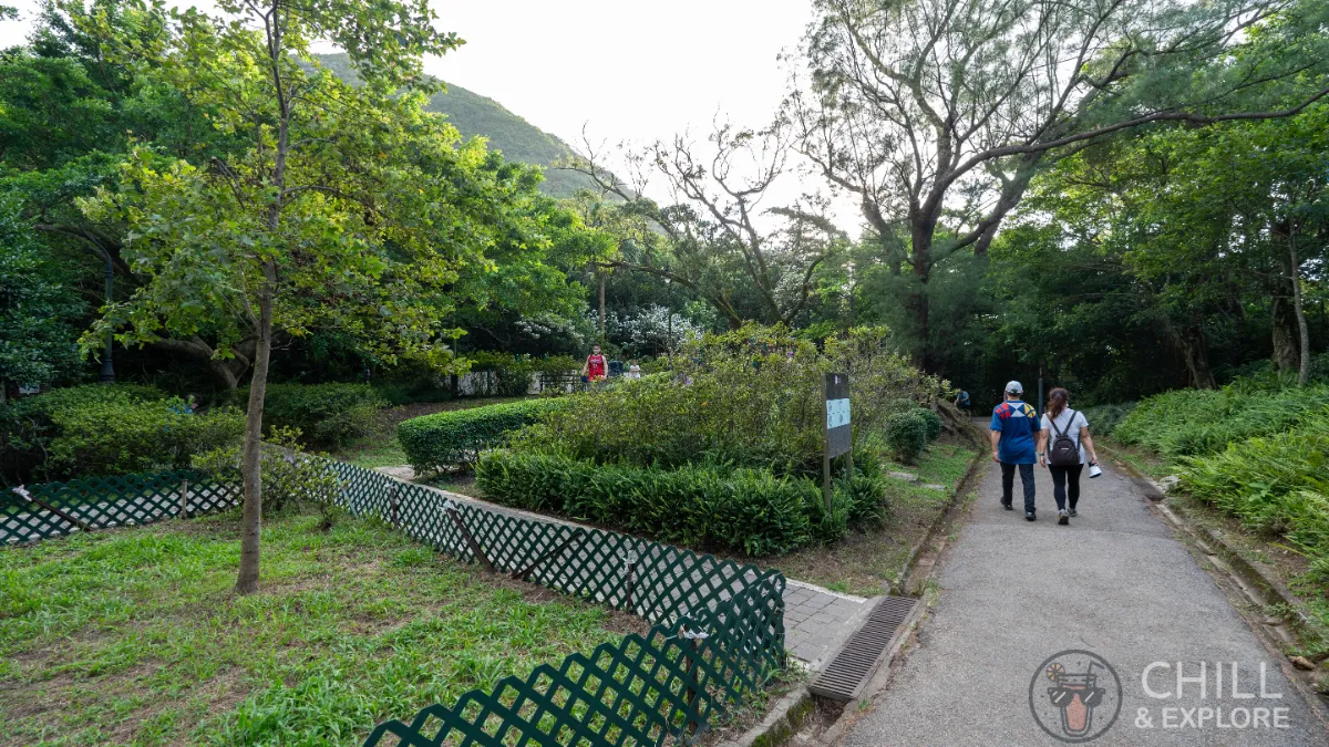
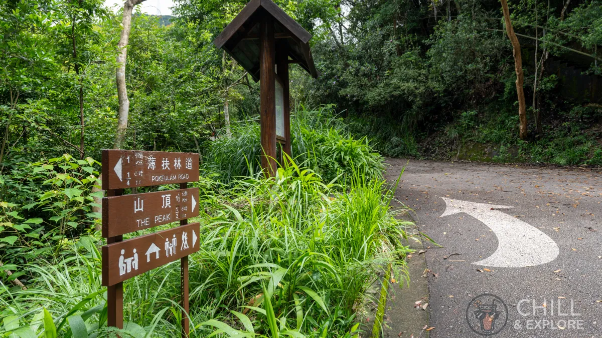
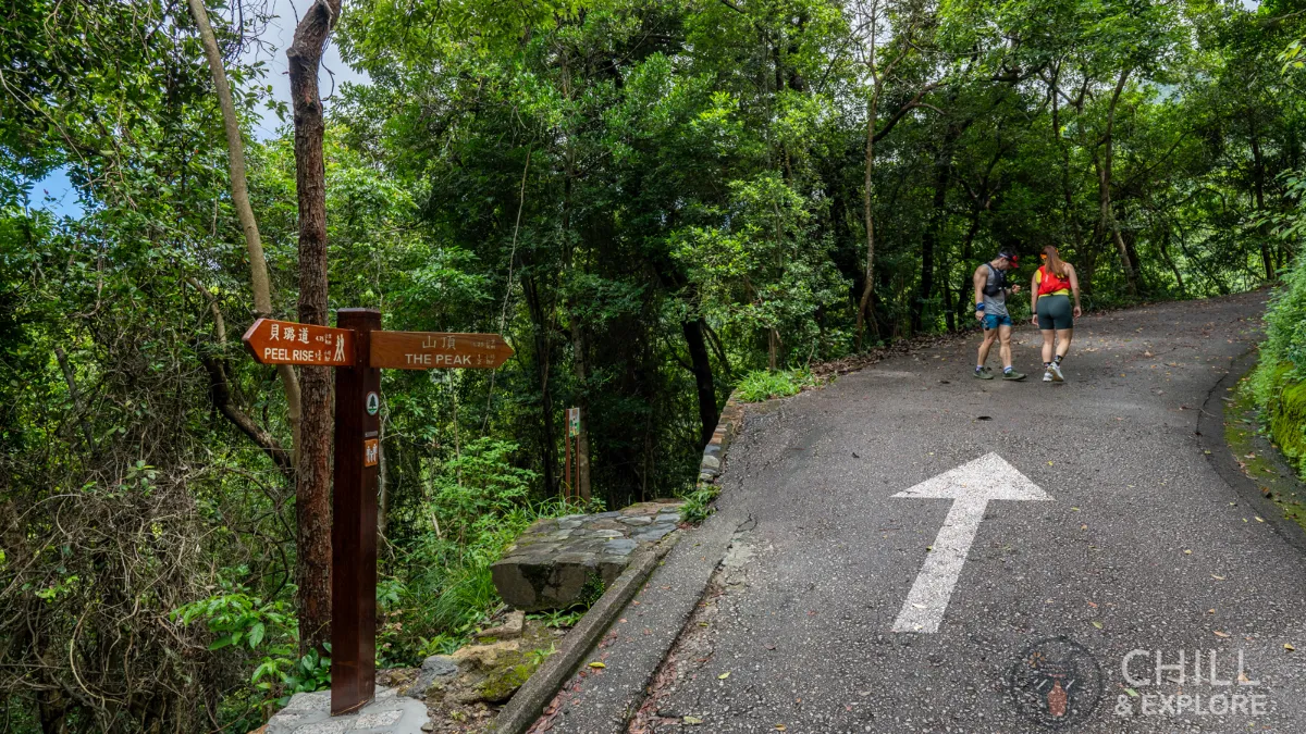
At the junction, make a left turn towards Peak Tram Station.
This is what it should look like.
Continue straight
Walk along the drain channel and turn right into the path.
From here, it’s a long and slow ascent upwards.
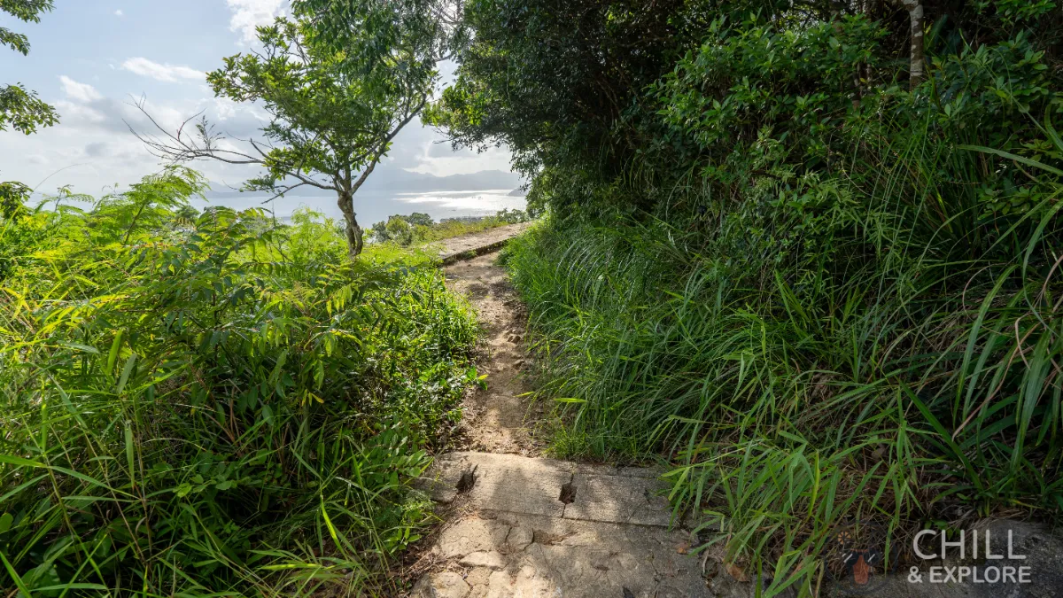
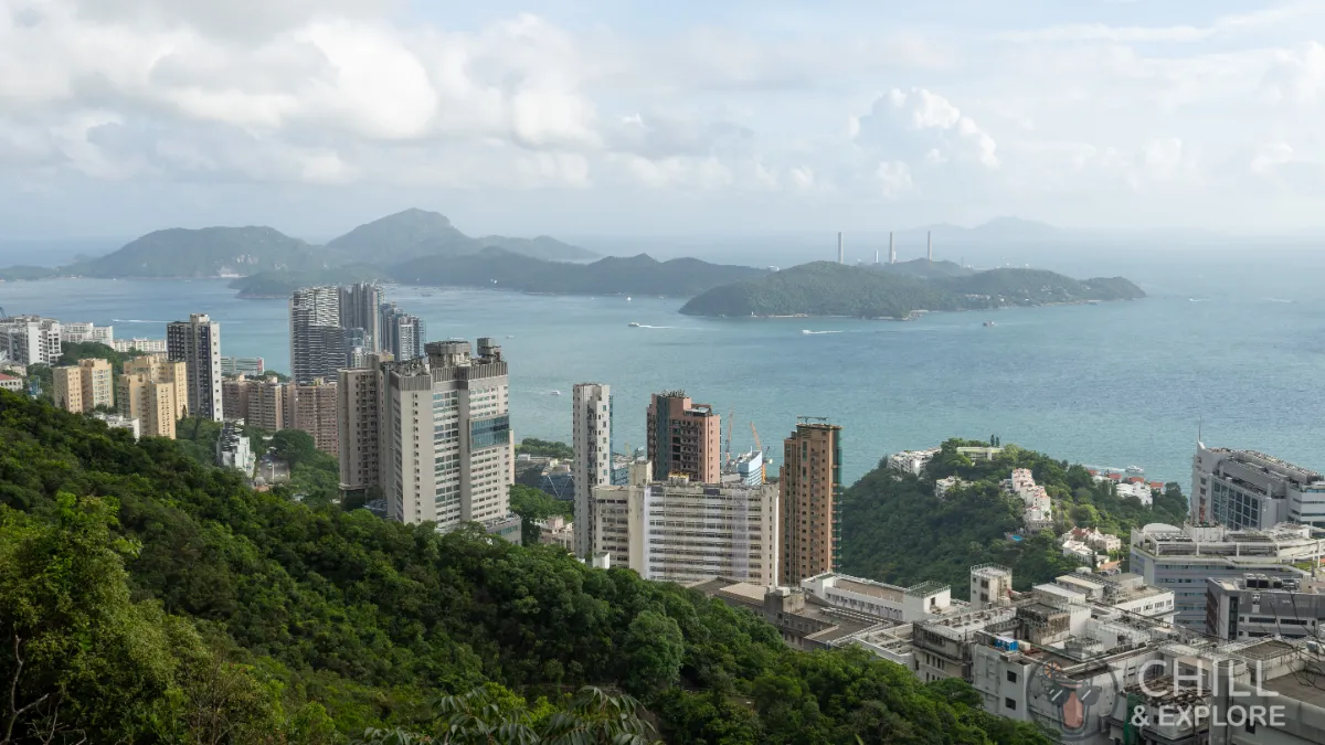
At the quarter mark, you will finally start getting some views of the city. Just the encouragement needed to keep you going further!
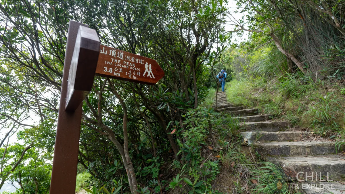
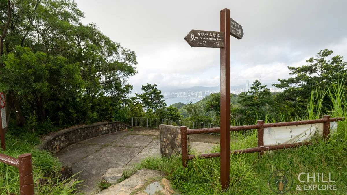
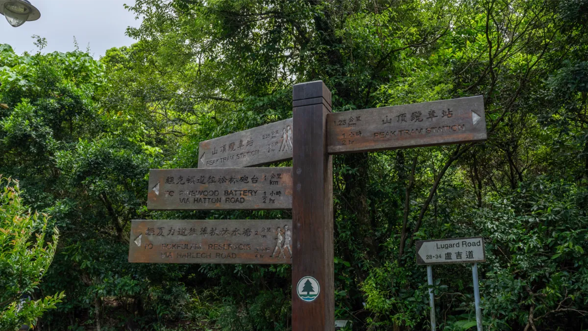
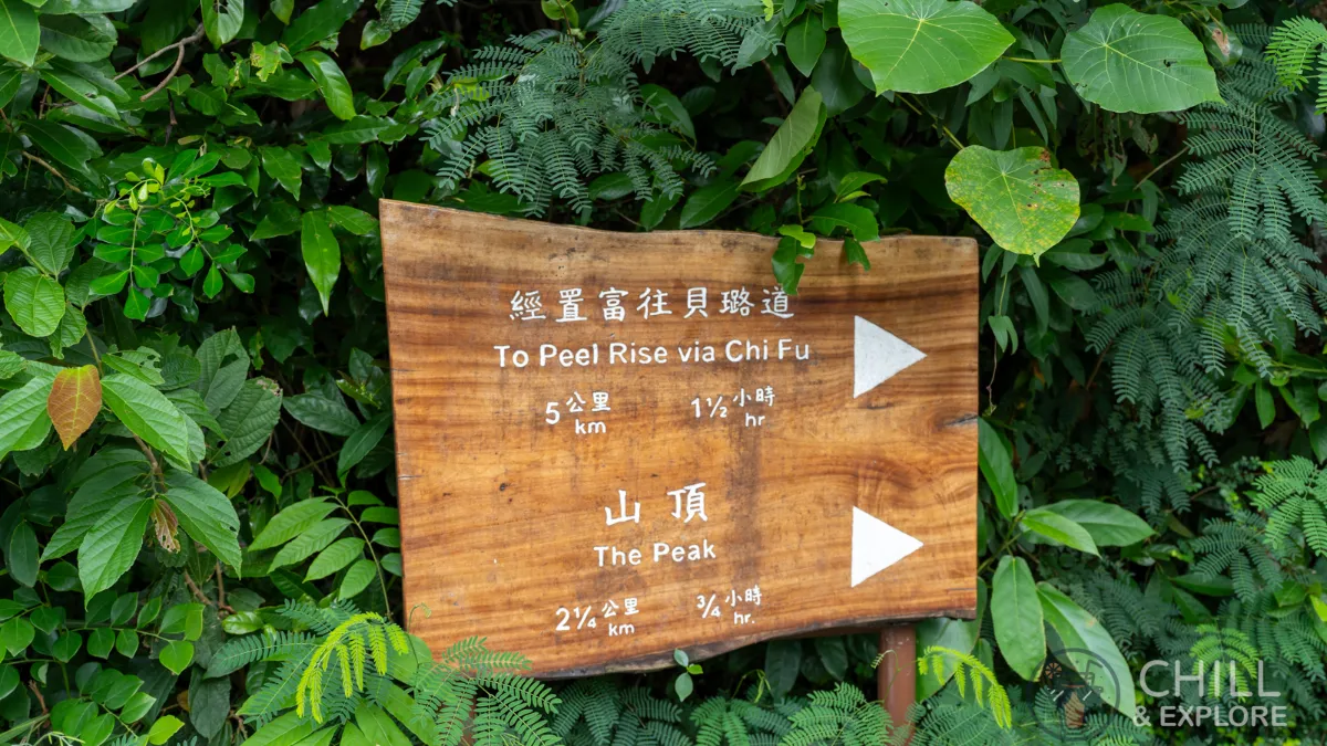
Not long after, you’ll reach another junction. Take the path to The Peak (via Lugard Road).
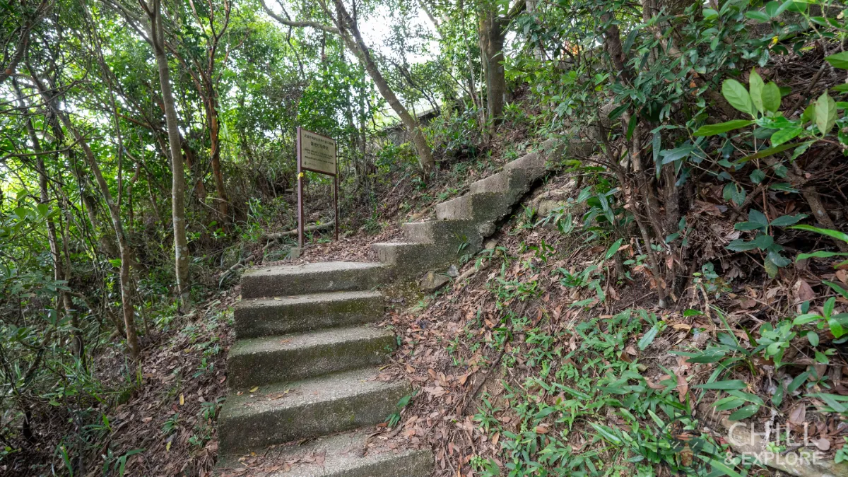
This is where the hike starts getting a bit more difficult. You’ll start to notice the stairs have a bit more elevation on each step.
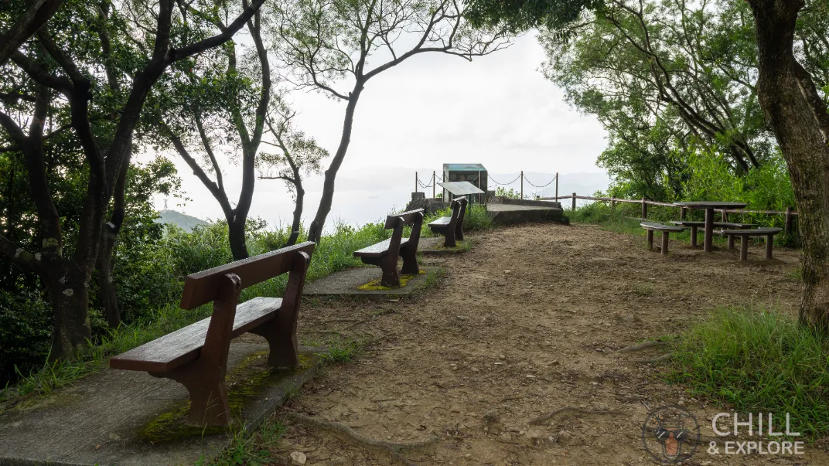
Once you climb up these stairs, you’ll be at the halfway point.
This area is called the Lung Fu Shan Viewing Point
From here, you can enjoy sweeping views of Cheng Chau, Sunset Peak, Peng Chau, Discovery Bay, Mount Davis, Penny’s Bay, and even as far back as the Tsing Ma Bridge.
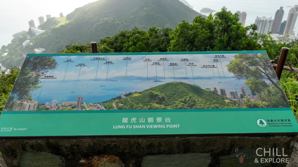
Unfortunately, the visibility wasn’t the best the day I took this photo. All the blurbs look the same!
After taking a bit of a break and admiring the view, let’s continue on our journey. As you can see, there’s still a bit of a climb left before we reach the peak.
Walk down the steps on the other side and follow the sign to the Peak Tram Terminus.
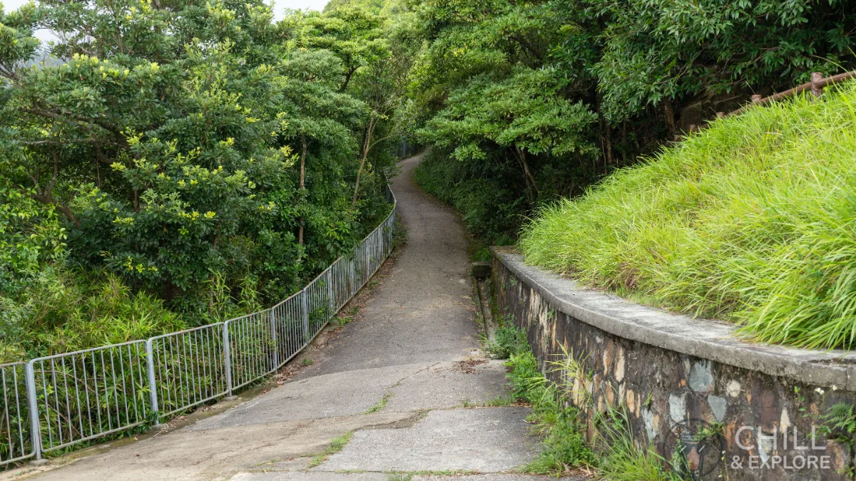
From here, it’s a straight path to the peak. The slope is pretty gentle at this point so you can take it easy.
Up ahead is the Hatton Road Public Toilet. If you need to go to the bathroom, now’s the time.
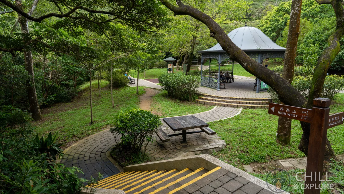
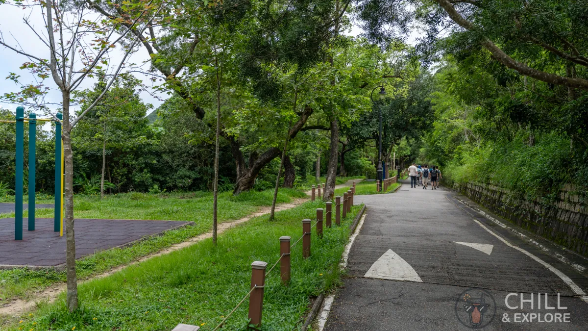
After walking a bit further, you’ll reach the Harlech Road Fitness Area.
At this point, you can either hike further up to Mount High West Viewing Point or continue your journey to The Peak Tower.
For detailed hiking instructions from the Peak to the High West Viewing Point, check out this guide:
The 4 Best Ways to Conquer Mount High West Hike, Hong Kong
Customise your hike: Select from 4 different trails that lead to Mount High West Hike, each offering breathtaking views.
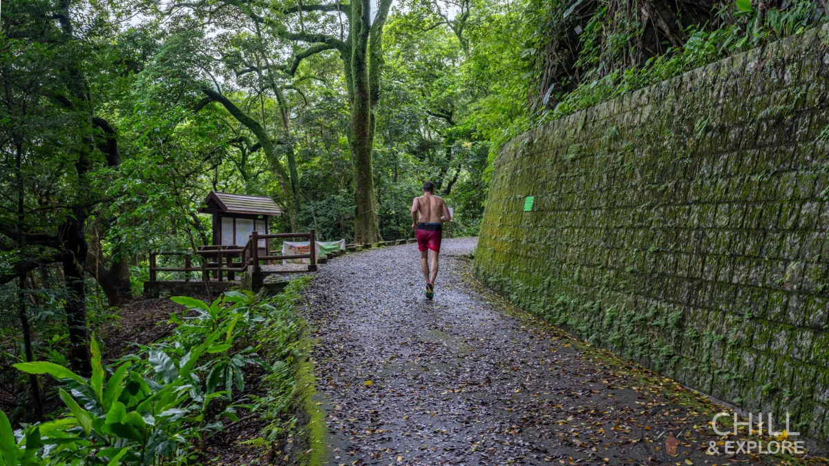
Read moreDetailsTo continue to the Peak Tower, simply follow the sign to the Peak Tram Station. As Harlech Road and Lugard Road merge together to form a loop, follow the Morning trail sign that says 1,100m.
Walk past the Pergola along Harlech Road.
Keep walking straight, going past the fitness bars.
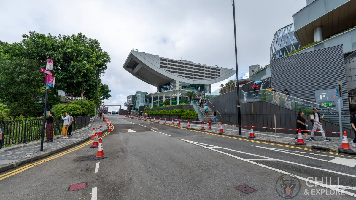
You will eventually reach The Peak Tower after about 15 minutes.
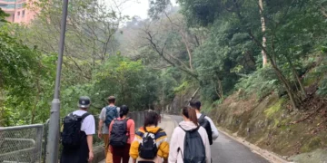
4 Route B: Pok Fu Lam Family Walk to The Peak Tower
For a gentler, slower, and more family-friendly hike to The Peak, this is definitely the better option. Start by walking past the Pok Fu Lam Country Park sign alongside the reservoir.
We’ll be following the sign that takes us to The Peak.
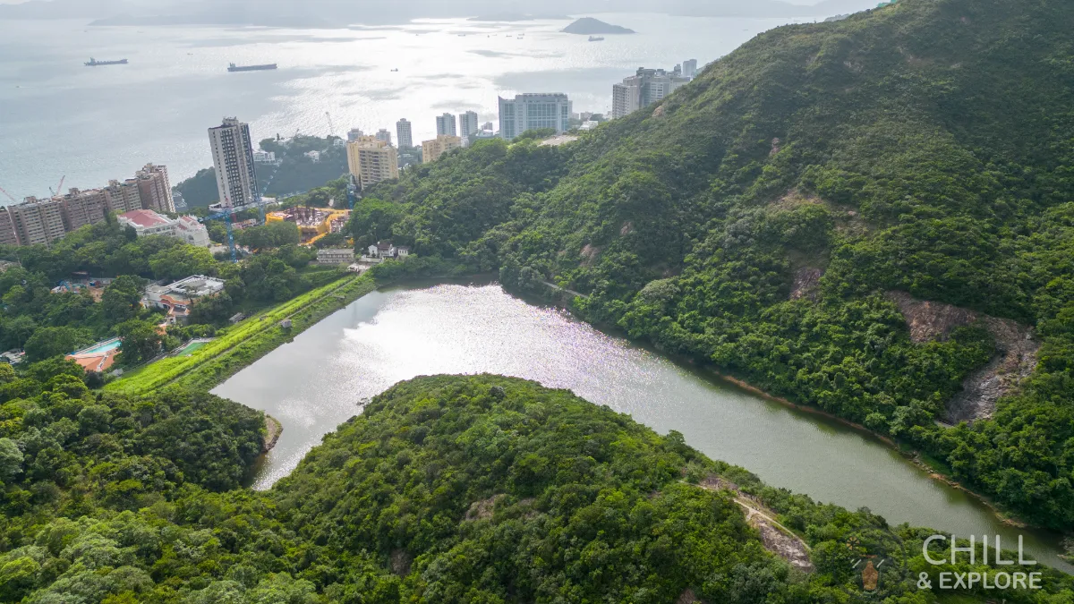
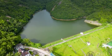
This is a nice and peaceful walk, so enjoy the stillness of the reservoir and the blue skies.
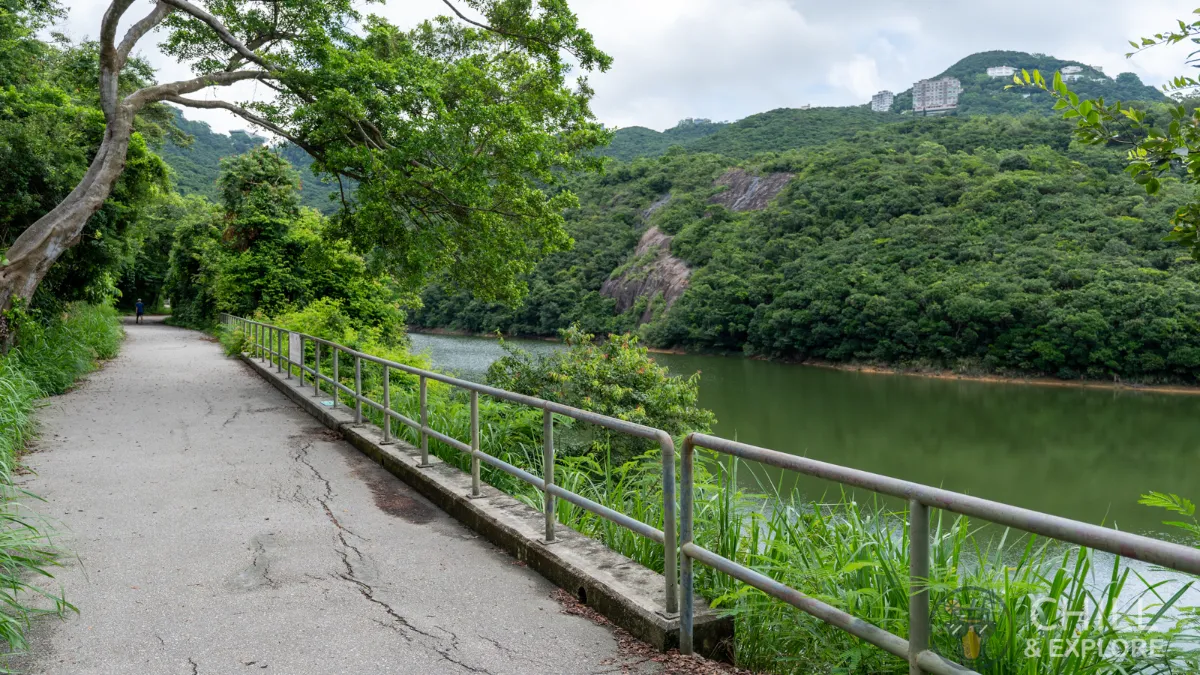
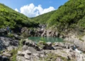
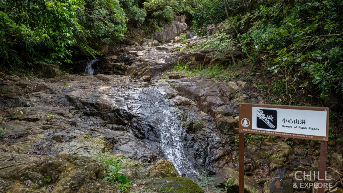
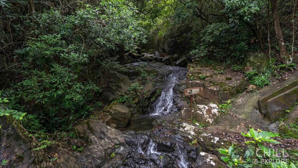
Not long into the path, you’ll notice a stream flowing down the rocks. This is the first of many you’ll see on this hike.
The slope begins soon after this resting point.
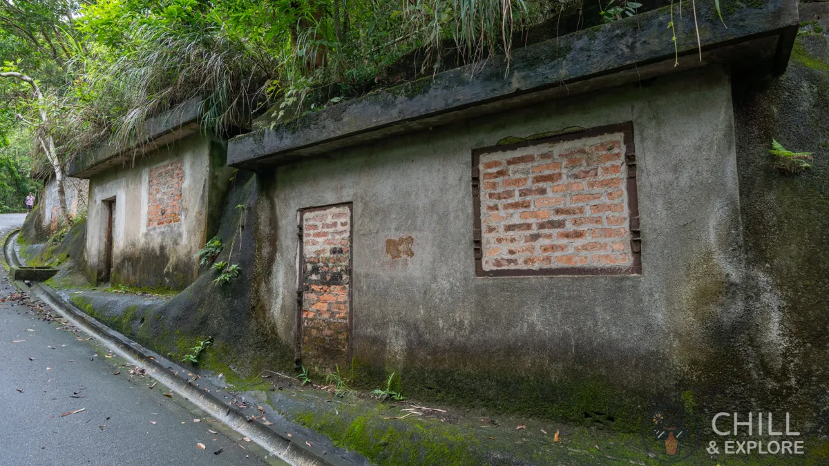
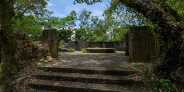
As you climb uphill, you’ll come across these structures on the right. These huts have now been sealed with bricks, but I’m not sure what their original purpose was. If anyone knows, please comment below!
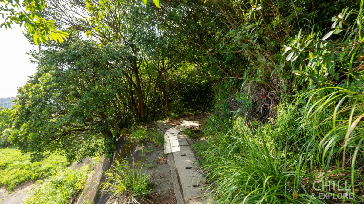
As you can see, the path is pretty well covered by trees which provides ample shade during hot days.
More streams! I always find these relaxing.
As you walk further up, you’ll come across a three-way junction. Head to the left.
Follow the sign up to the Peak.
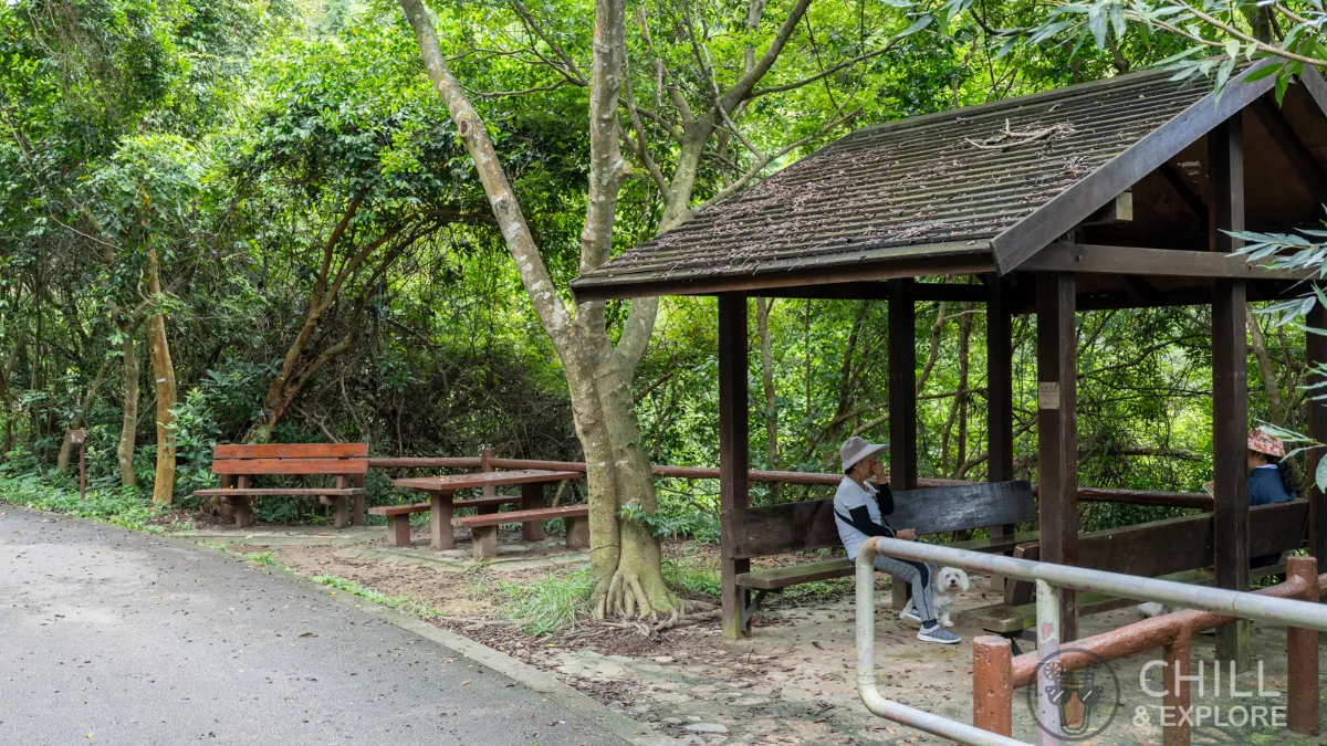
Continue walking along the road. You’ll come across the Pok Fu Lam Country Park Picnic Area Site No. 1 around this corner. This secluded picnic site is a great resting area if you need one. If not, let’s keep going!

Hiking further up, you’ll see a small path to the left off the main road. Make sure to keep going on the main road and don’t take that path.
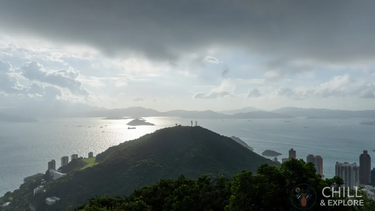
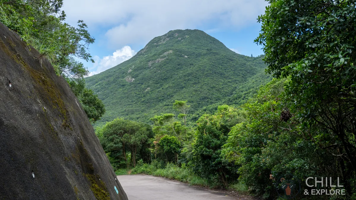
Look back every once in a while. The view here is of Mt High West.
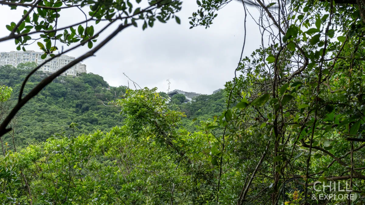
As we hike further up, you’ll start to see the peak tower behind the trees and bushes. That’s where our hike finishes.
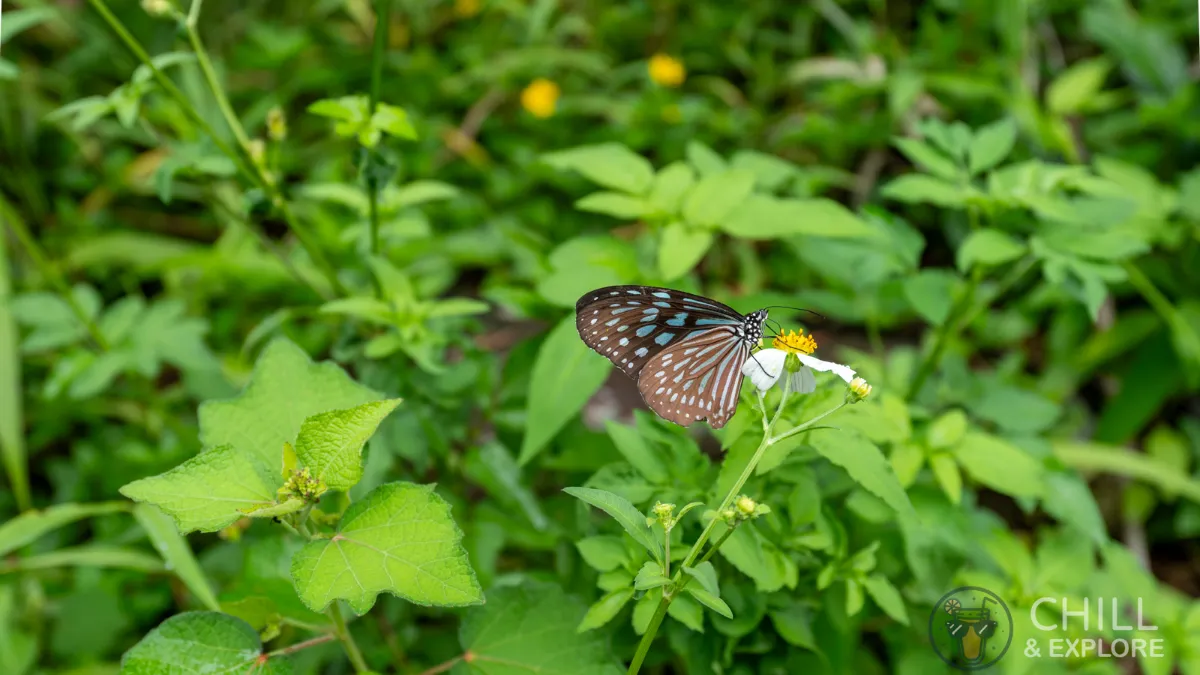
On a side note, I noticed a lot of butterflies along the trail. Take the time to admire these tiny little creatures.
As you approach the final stretch of road, there’s a tiny little canal with a view of the sea. This is a glimpse of what we’re about to see above.
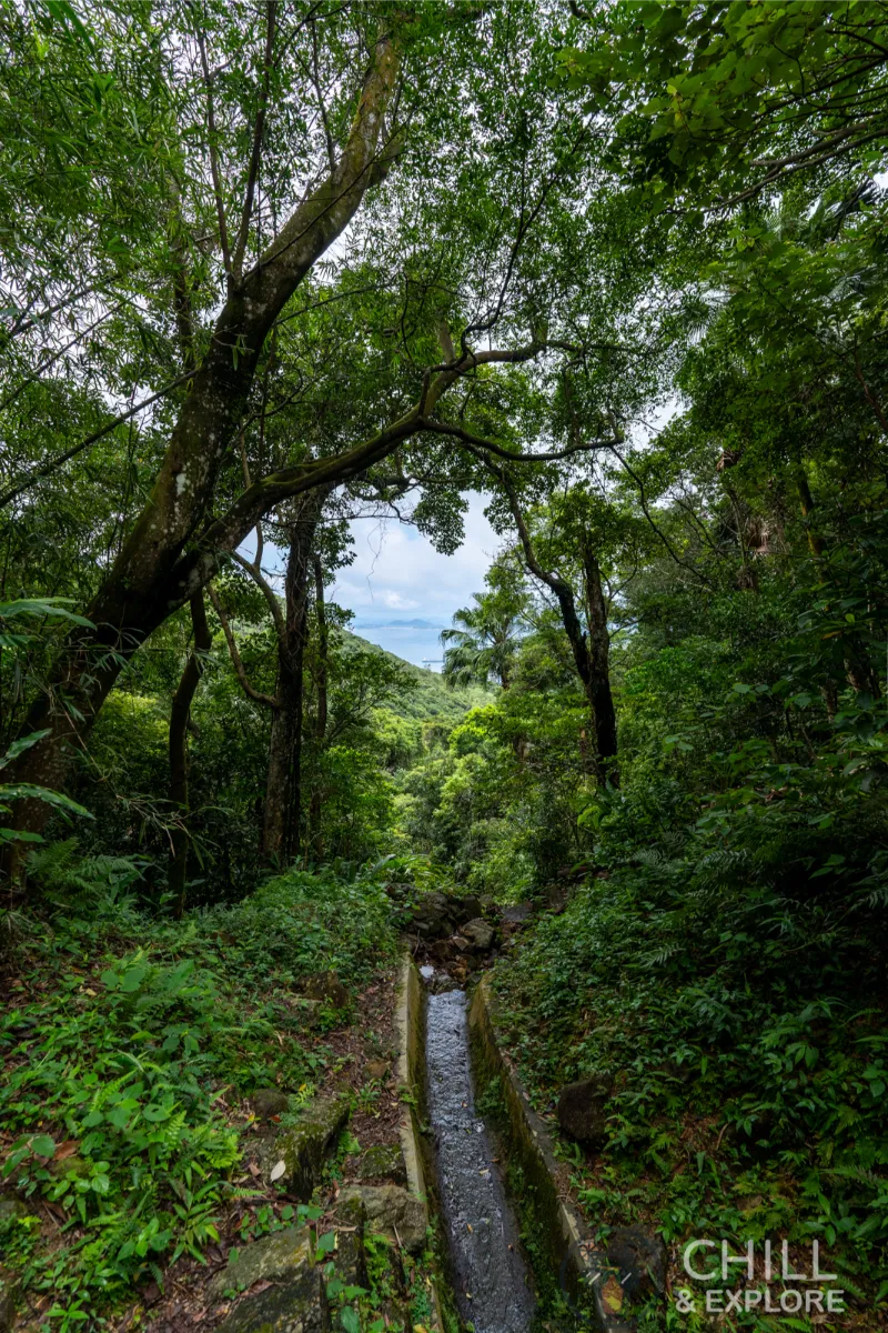
Not much more to go, just a short walk around the corner.
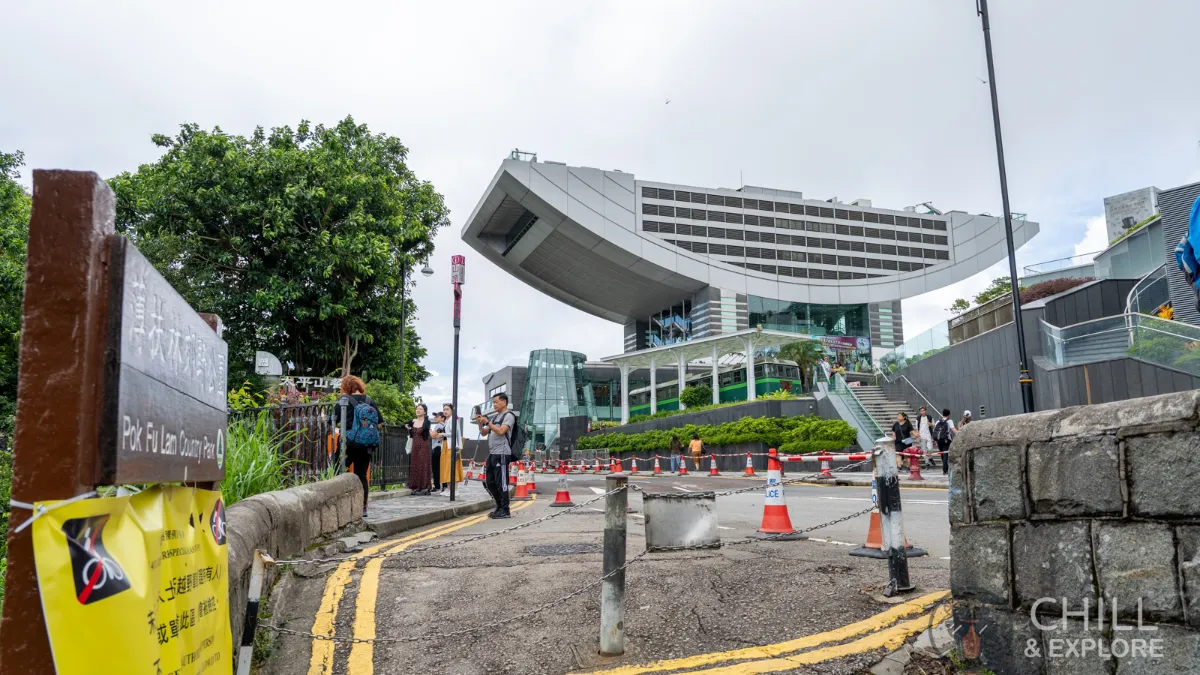
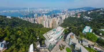
As we approach the end of the trail, the full view of the Peak Tower becomes visible.
5 Hikes and Walks from The Peak
Once at the Peak, you have a few options. I’d recommend doing the Peak Circular Walk followed by the High West hike if you have time. The hike back down to Sai Ying Pun is ideal since you can explore the Pinewood Battery as you descend. Here’s the list:
1. Do the Peak Circular Walk to Lugard Road Lookout
High West detailed hiking instructions:
Victoria Peak Circle Walk – Best Things to See and Do
Experience stunning views on Victoria Peak Circle walk in Hong Kong. Discover scenic beauty, nature, and cityscape all in one adventure!
Read moreDetails2. Do the Pinewood Battery Hike, followed by hiking back down to Sai Ying Pun
High West detailed hiking instructions:
Pinewood Battery Hike: Explore The 2 Best Ways To Get There
Explore history and nature on the Pinewood Battery Hike in Hong Kong. Discover wartime relics and scenic trails. Uncover a hidden gem.
Read moreDetails3. Hike up High West to the summit
High West detailed hiking instructions:
The 4 Best Ways to Conquer Mount High West Hike, Hong Kong
Customise your hike: Select from 4 different trails that lead to Mount High West Hike, each offering breathtaking views.
Read moreDetails4. Hike back down to Pok Fu Lam
Pok Fu Lam Reservoir detailed hiking instructions:
The 2 Best Hiking Routes From Pok Fu Lam Reservoir to the Peak
Explore scenic trails from Pok Fu Lam Reservoir to The Peak, Hong Kong's iconic destination. Uncover hidden routes and stunning vistas.
Read moreDetails5. Hike back down to Central
Central to the Peak detailed hiking instructions:
This Central to Peak Hike Delivers the 3 Best Vantage Points
Get ready to explore the best of Hong Kong's nature and city views on the Central to Victoria Peak hike. Find out why this trail is a must-do!
Read moreDetails6 FAQs
How long does it take to complete the hike from Pok Fu Lam to The Peak?
On average, the hike can take around 45 minutes to an hour to complete, depending on your pace, breaks, and the route you choose.
How long is the Pok Fu Lam to The Peak Hike?
The length of the hike varies depending on the specific route you take, but it’s generally around 3.5 kilometres (approximately 2.2 miles).
How do I get to High West Peak?
Take one of the two trails from Pok Fu Lam to The Peak. From there, start the High West hiking trail along the Treacherous path to climb to the High West Peak.
Pok Fu Lam to The Peak Hike
Print ChecklistHiking Checklist
- Wear sturdy hiking or sports shoes
- Towel to wipe away the sweat
- Power bank
- Headlamp or a powerful flashlight if hiking at night
- Sunscreen and a hat
- Camera or your smartphone to capture the stunning views
- Pack plenty of water and snacks to keep your energy levels up
- Bring a hiking backpack to store all your stuff